


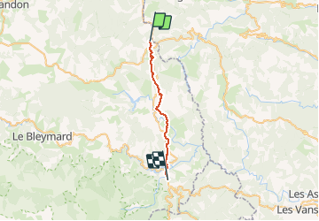
La Bastide Puy Laurent à Villefort

BrassensJC
User

Length
23 km

Max alt
1141 m

Uphill gradient
425 m
Km-Effort
30 km

Min alt
574 m

Downhill gradient
848 m
Boucle
No
Creation date :
2020-02-07 12:25:58.635
Updated on :
2020-02-07 12:27:38.649
6h13
Difficulty : Very difficult

FREE GPS app for hiking
 SityTrail
IGN / Geographical institutes
SityTrail Plus
The world is yours!
About
Trail Walking of 23 km to be discovered at Occitania, Lozère, La Bastide-Puylaurent. This trail is proposed by BrassensJC.
Positioning
Country:
France
Region :
Occitania
Department/Province :
Lozère
Municipality :
La Bastide-Puylaurent
Location:
Unknown
Start:(Dec)
Start:(UTM)
571833 ; 4938043 (31T) N.
Comments