


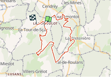
Le Verjoulot 6 fév 2020 CAF

TRIMAILLE
User

Length
19.4 km

Max alt
511 m

Uphill gradient
564 m
Km-Effort
27 km

Min alt
264 m

Downhill gradient
599 m
Boucle
No
Creation date :
2020-02-06 08:05:21.424
Updated on :
2020-02-08 23:48:12.389
6h45
Difficulty : Very easy

FREE GPS app for hiking
 SityTrail
IGN / Geographical institutes
SityTrail Plus
The world is yours!
About
Trail Walking of 19.4 km to be discovered at Bourgogne-Franche-Comté, Doubs, La Tour-de-Sçay. This trail is proposed by TRIMAILLE.
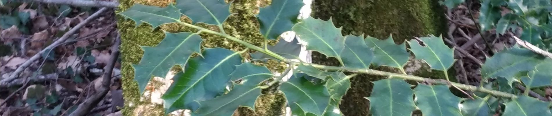
Photos


Positioning
Country:
France
Region :
Bourgogne-Franche-Comté
Department/Province :
Doubs
Municipality :
La Tour-de-Sçay
Location:
Unknown
Start:(Dec)
Start:(UTM)
291498 ; 5252175 (32T) N.
Comments