


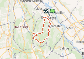

7.3 km | 10.1 km-effort


User GUIDE


FREE GPS app for hiking
 SityTrail
IGN / Geographical institutes
SityTrail World
The world is yours!
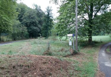
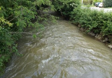
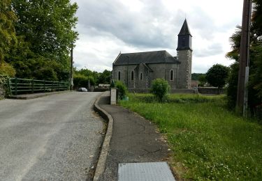
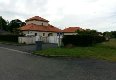
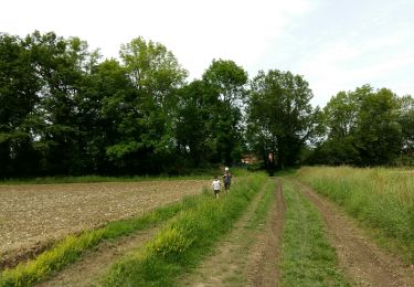
Trail On foot of 10.5 km to be discovered at New Aquitaine, Pyrénées-Atlantiques, Rontignon. This trail is proposed by marmotte65.
Si vous avez envie de vous sentir au bout du monde à quelques kilomètres de Pau, prenez ce départ. Départ : Parking du stade - 1, rue des écoles - Rontignon Balisage Jaune Pédestre (n°8)

Walking
Walking
Walking
Walking
Walking
Walking
Walking
Walking
Walking