


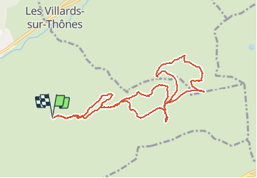
BEAUREGARD depuis la Clossette

Jean-Paulchoux
User

Length
11 km

Max alt
1631 m

Uphill gradient
590 m
Km-Effort
18.9 km

Min alt
1160 m

Downhill gradient
588 m
Boucle
Yes
Creation date :
2020-02-12 07:55:28.452
Updated on :
2020-02-12 15:36:42.95
5h03
Difficulty : Medium

FREE GPS app for hiking
 SityTrail
IGN / Geographical institutes
SityTrail Plus
The world is yours!
About
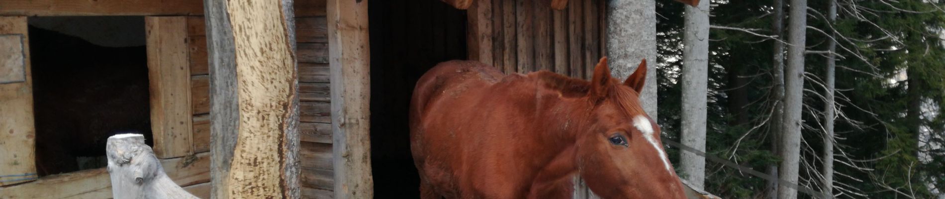
Trail Snowshoes of 11 km to be discovered at Auvergne-Rhône-Alpes, Upper Savoy, Thônes. This trail is proposed by Jean-Paulchoux.
Photos


Positioning
Country:
France
Region :
Auvergne-Rhône-Alpes
Department/Province :
Upper Savoy
Municipality :
Thônes
Location:
Unknown
Start:(Dec)
Start:(UTM)
295248 ; 5084988 (32T) N.
Comments