


Chatel Guyon la Vallée des Prades

jeanic63
User

Length
11.2 km

Max alt
678 m

Uphill gradient
345 m
Km-Effort
15.9 km

Min alt
436 m

Downhill gradient
352 m
Boucle
Yes
Creation date :
2020-02-15 19:21:26.215
Updated on :
2020-02-15 19:25:22.78
--
Difficulty : Medium

FREE GPS app for hiking
 SityTrail
IGN / Geographical institutes
SityTrail Plus
The world is yours!
About
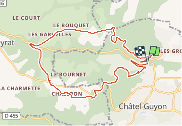
Trail On foot of 11.2 km to be discovered at Auvergne-Rhône-Alpes, Puy-de-Dôme, Châtel-Guyon. This trail is proposed by jeanic63.
Description
Départ parking retenu des prades croisement D78 D78B
Positioning
Country:
France
Region :
Auvergne-Rhône-Alpes
Department/Province :
Puy-de-Dôme
Municipality :
Châtel-Guyon
Location:
Unknown
Start:(Dec)
Start:(UTM)
504857 ; 5086370 (31T) N.
Comments