


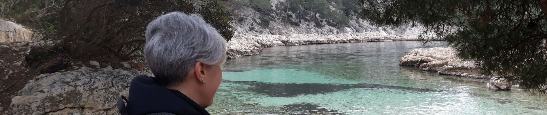
port miou de Françoise

Coryphene
User
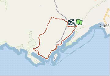

Length
7.3 km

Max alt
193 m

Uphill gradient
264 m
Km-Effort
10.8 km

Min alt
8 m

Downhill gradient
262 m
Boucle
Yes
Creation date :
2020-02-16 08:59:08.824
Updated on :
2020-02-17 09:33:26.209
5h03
Difficulty : Very easy

FREE GPS app for hiking
 SityTrail
IGN / Geographical institutes
SityTrail Plus
The world is yours!
About
Trail Walking of 7.3 km to be discovered at Provence-Alpes-Côte d'Azur, Bouches-du-Rhône, Cassis. This trail is proposed by Coryphene.
Photos


Positioning
Country:
France
Region :
Provence-Alpes-Côte d'Azur
Department/Province :
Bouches-du-Rhône
Municipality :
Cassis
Location:
Unknown
Start:(Dec)
Start:(UTM)
704851 ; 4787499 (31T) N.
Comments