


18/02/20

arnoultjf
User
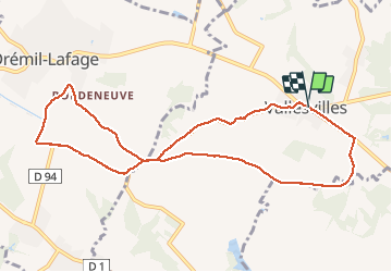

Length
10.5 km

Max alt
252 m

Uphill gradient
170 m
Km-Effort
12.7 km

Min alt
167 m

Downhill gradient
169 m
Boucle
Yes
Creation date :
2020-02-18 12:57:48.281
Updated on :
2020-02-18 15:12:27.571
2h08
Difficulty : Very easy

FREE GPS app for hiking
 SityTrail
IGN / Geographical institutes
SityTrail Plus
The world is yours!
About
Trail Walking of 10.5 km to be discovered at Occitania, Haute-Garonne, Vallesvilles. This trail is proposed by arnoultjf.
Description
ras
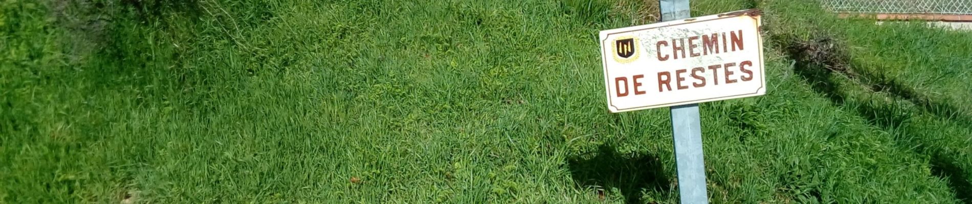
Photos


Positioning
Country:
France
Region :
Occitania
Department/Province :
Haute-Garonne
Municipality :
Vallesvilles
Location:
Unknown
Start:(Dec)
Start:(UTM)
390597 ; 4827474 (31T) N.
Comments