


Rondje Houwaart

Dirk242
User


Length
9.3 km

Max alt
72 m

Uphill gradient
94 m
Km-Effort
10.6 km

Min alt
23 m

Downhill gradient
94 m
Boucle
Yes
Creation date :
2020-02-23 10:03:06.711
Updated on :
2020-02-23 12:29:46.502
2h25
Difficulty : Medium

FREE GPS app for hiking
 SityTrail
IGN / Geographical institutes
SityTrail Plus
The world is yours!
About
Trail Walking of 9.3 km to be discovered at Flanders, Flemish Brabant, Tielt-Winge. This trail is proposed by Dirk242.
Description
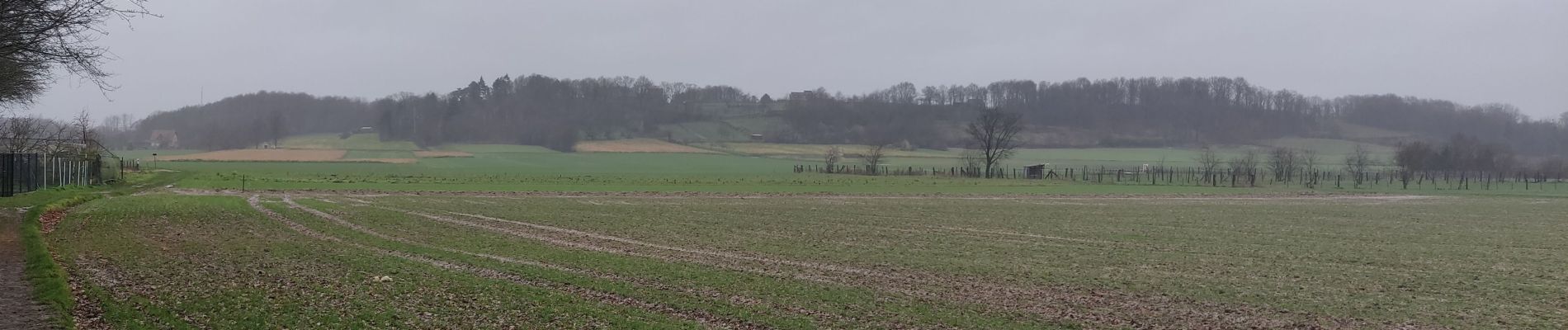
Wijn - en andere velden, prachtig glooiend landschap
Photos

Positioning
Country:
Belgium
Region :
Flanders
Department/Province :
Flemish Brabant
Municipality :
Tielt-Winge
Location:
Houwaart
Start:(Dec)
Start:(UTM)
630715 ; 5644138 (31U) N.
Comments