


Col du Banchet-G1

Valmeinier
User

Length
8.2 km

Max alt
698 m

Uphill gradient
278 m
Km-Effort
11.9 km

Min alt
591 m

Downhill gradient
275 m
Boucle
Yes
Creation date :
2020-02-23 13:20:30.426
Updated on :
2020-02-23 13:34:18.716
2h29
Difficulty : Medium

FREE GPS app for hiking
 SityTrail
IGN / Geographical institutes
SityTrail Plus
The world is yours!
About
Trail Walking of 8.2 km to be discovered at Auvergne-Rhône-Alpes, Savoy, Ayn. This trail is proposed by Valmeinier.
Description
Boucle Nord vers le chateau de Montbel boucle sud vers le Bélvédère du Grand Bex
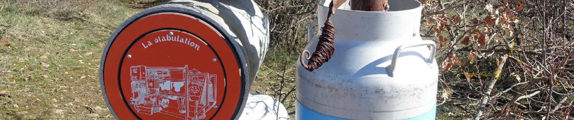
Photos

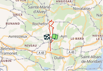
Positioning
Country:
France
Region :
Auvergne-Rhône-Alpes
Department/Province :
Savoy
Municipality :
Ayn
Location:
Unknown
Start:(Dec)
Start:(UTM)
713345 ; 5049432 (31T) N.
Comments