


Mont vierge

Bogapuki
User

Length
3.1 km

Max alt
1374 m

Uphill gradient
613 m
Km-Effort
9.3 km

Min alt
780 m

Downhill gradient
20 m
Boucle
No
Creation date :
2018-11-25 09:19:39.721
Updated on :
2018-11-25 09:19:39.721
2h05
Difficulty : Easy

FREE GPS app for hiking
 SityTrail
IGN / Geographical institutes
SityTrail Plus
The world is yours!
About
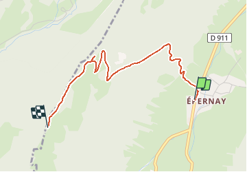
Trail Walking of 3.1 km to be discovered at Auvergne-Rhône-Alpes, Savoy, Sainte-Reine. This trail is proposed by Bogapuki.
Description
Rando raquettes avec magnifique vue sur la vallée et sur le Colombier.
Positioning
Country:
France
Region :
Auvergne-Rhône-Alpes
Department/Province :
Savoy
Municipality :
Sainte-Reine
Location:
Unknown
Start:(Dec)
Start:(UTM)
277302 ; 5055459 (32T) N.
Comments