


saint paul et val malle vers jusqu au puits de l'aven

labarone
User
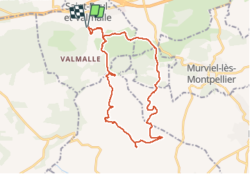

Length
18.9 km

Max alt
198 m

Uphill gradient
350 m
Km-Effort
24 km

Min alt
68 m

Downhill gradient
354 m
Boucle
Yes
Creation date :
2020-02-25 07:57:36.336
Updated on :
2020-02-25 14:28:14.269
4h27
Difficulty : Easy

FREE GPS app for hiking
 SityTrail
IGN / Geographical institutes
SityTrail Plus
The world is yours!
About
Trail Walking of 18.9 km to be discovered at Occitania, Hérault, Saint-Paul-et-Valmalle. This trail is proposed by labarone.
Description
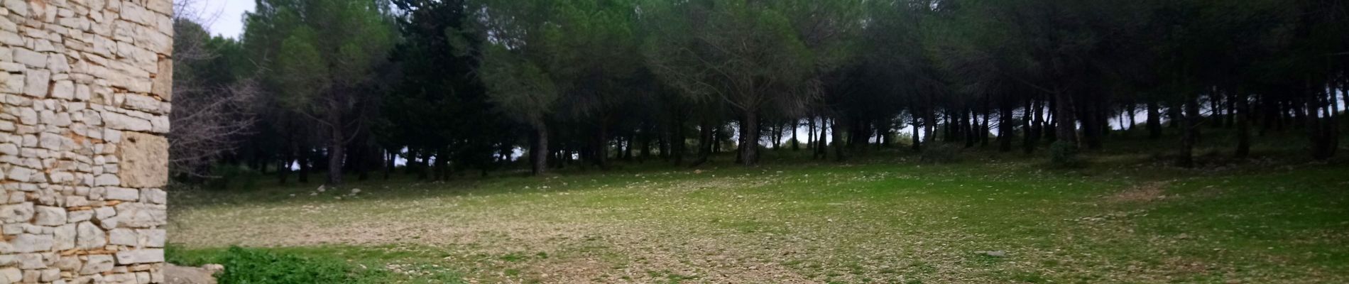
Bon parcours
En février mars asperges sauvages
Photos


Positioning
Country:
France
Region :
Occitania
Department/Province :
Hérault
Municipality :
Saint-Paul-et-Valmalle
Location:
Unknown
Start:(Dec)
Start:(UTM)
554523 ; 4829994 (31T) N.
Comments