


SityTrail - Paliseul bouillon

ramagufa
User
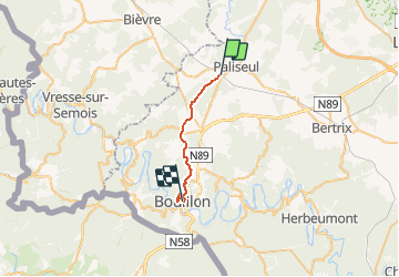

Length
17.1 km

Max alt
461 m

Uphill gradient
401 m
Km-Effort
23 km

Min alt
214 m

Downhill gradient
596 m
Boucle
No
Creation date :
2020-02-27 15:27:31.333
Updated on :
2020-03-09 18:00:00.673
5h01
Difficulty : Medium

FREE GPS app for hiking
 SityTrail
IGN / Geographical institutes
SityTrail Plus
The world is yours!
About
Trail Walking of 17.1 km to be discovered at Wallonia, Luxembourg, Paliseul. This trail is proposed by ramagufa.
Description
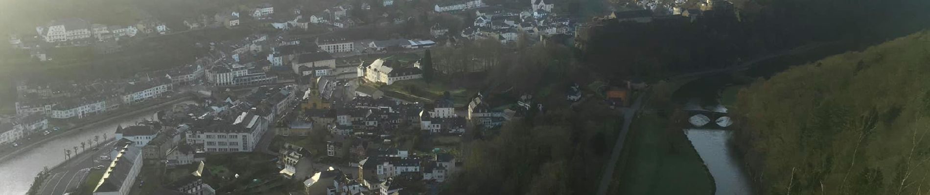
Paliseul gare, Mogimont, Chateau le Duc, Bovo Moulin, Belvédère et arrivée pont de Liège à Bouillon.
Photos

Positioning
Country:
Belgium
Region :
Wallonia
Department/Province :
Luxembourg
Municipality :
Paliseul
Location:
Paliseul
Start:(Dec)
Start:(UTM)
651972 ; 5529275 (31U) N.
Comments