


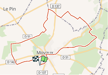
Moyaux

Eve - Line
User

Length
11.8 km

Max alt
167 m

Uphill gradient
73 m
Km-Effort
12.8 km

Min alt
129 m

Downhill gradient
73 m
Boucle
Yes
Creation date :
2020-02-29 12:37:59.947
Updated on :
2020-02-29 15:28:53.434
2h17
Difficulty : Easy

FREE GPS app for hiking
 SityTrail
IGN / Geographical institutes
SityTrail Plus
The world is yours!
About
Trail Walking of 11.8 km to be discovered at Normandy, Calvados, Moyaux. This trail is proposed by Eve - Line.
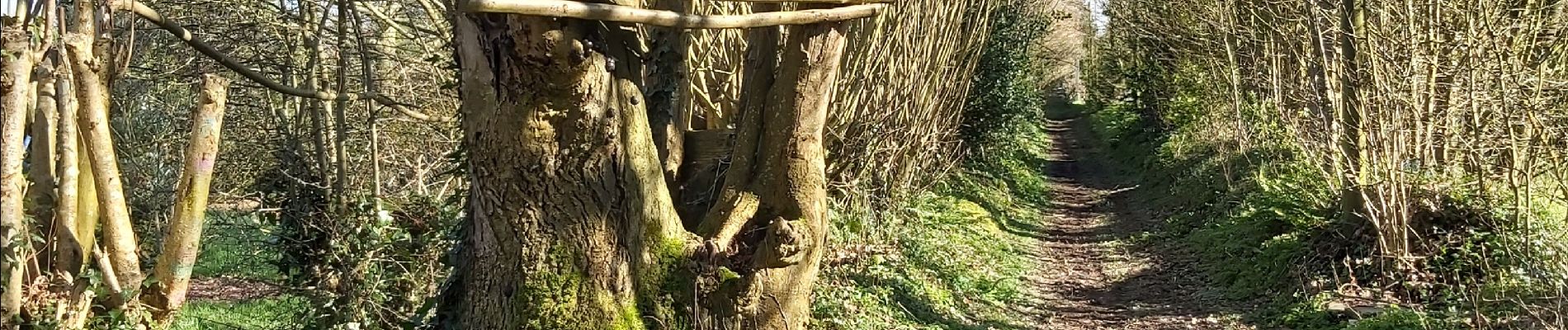
Photos


Positioning
Country:
France
Region :
Normandy
Department/Province :
Calvados
Municipality :
Moyaux
Location:
Unknown
Start:(Dec)
Start:(UTM)
307213 ; 5452016 (31U) N.
Comments