


de usclas du bosc vers St privat

labarone
User
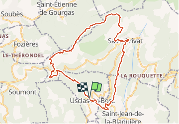

Length
20 km

Max alt
693 m

Uphill gradient
787 m
Km-Effort
31 km

Min alt
166 m

Downhill gradient
790 m
Boucle
Yes
Creation date :
2020-03-03 08:10:03.717
Updated on :
2020-03-03 15:01:20.521
5h06
Difficulty : Very easy

FREE GPS app for hiking
 SityTrail
IGN / Geographical institutes
SityTrail Plus
The world is yours!
About
Trail Walking of 20 km to be discovered at Occitania, Hérault, Usclas-du-Bosc. This trail is proposed by labarone.
Description
Belle rando un peu difficile
A visiter village de Saint privat
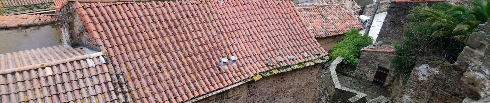
Photos


25 photos in total. Please click on a photo to see them all in the gallery.
Positioning
Country:
France
Region :
Occitania
Department/Province :
Hérault
Municipality :
Usclas-du-Bosc
Location:
Unknown
Start:(Dec)
Start:(UTM)
532312 ; 4841372 (31T) N.
Comments
J ai été trop rapide au moment de l enregistrement. Ce n est pas une rando très facile. Mais plutôt de difficulté moyen plus car il y a des descentes caillouteuses... Donc faire gaffe ! Labarone