


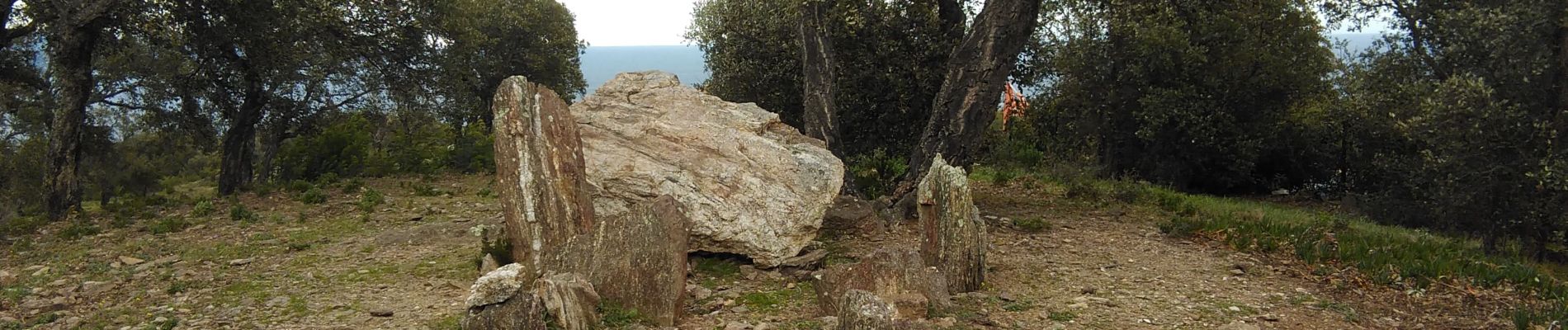
Les Issambres : Draille des roches - Dolmen

RM21700
User


Length
4.8 km

Max alt
237 m

Uphill gradient
185 m
Km-Effort
7.3 km

Min alt
114 m

Downhill gradient
190 m
Boucle
Yes
Creation date :
2020-03-03 13:32:23.907
Updated on :
2020-03-04 09:33:44.534
1h45
Difficulty : Easy

FREE GPS app for hiking
 SityTrail
IGN / Geographical institutes
SityTrail Plus
The world is yours!
About
Trail Walking of 4.8 km to be discovered at Provence-Alpes-Côte d'Azur, Var, Roquebrune-sur-Argens. This trail is proposed by RM21700.
Description
Départ du Boulevard des Gaulois (Voie F 28 Les Dolmens)
Belle balade avec de magnifiques points de vue
Photos


Positioning
Country:
France
Region :
Provence-Alpes-Côte d'Azur
Department/Province :
Var
Municipality :
Roquebrune-sur-Argens
Location:
Unknown
Start:(Dec)
Start:(UTM)
313214 ; 4803142 (32T) N.
Comments