


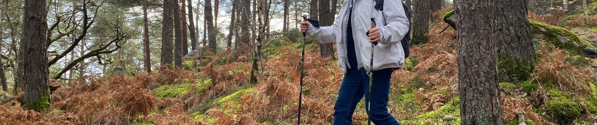
Franchard mont aigu

petergole
User
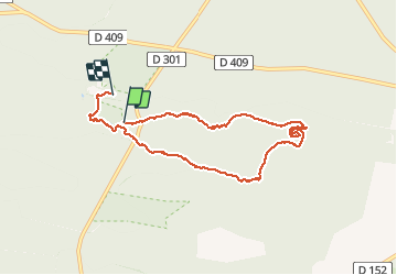

Length
7.3 km

Max alt
142 m

Uphill gradient
100 m
Km-Effort
8.6 km

Min alt
93 m

Downhill gradient
95 m
Boucle
No
Creation date :
2020-03-07 11:44:00.0
Updated on :
2020-03-07 14:08:55.814
2h24
Difficulty : Easy

FREE GPS app for hiking
 SityTrail
IGN / Geographical institutes
SityTrail Plus
The world is yours!
About
Trail Walking of 7.3 km to be discovered at Ile-de-France, Seine-et-Marne, Fontainebleau. This trail is proposed by petergole.
Photos

Positioning
Country:
France
Region :
Ile-de-France
Department/Province :
Seine-et-Marne
Municipality :
Fontainebleau
Location:
Unknown
Start:(Dec)
Start:(UTM)
473096 ; 5361476 (31U) N.
Comments