Adeps Olne 2020

AnneCecile
User
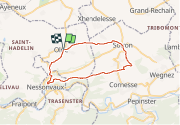

Length
11.2 km

Max alt
285 m

Uphill gradient
255 m
Km-Effort
14.6 km

Min alt
123 m

Downhill gradient
253 m
Boucle
Yes
Creation date :
2020-03-08 09:04:00.0
Updated on :
2020-03-08 11:24:22.582
2h19
Difficulty : Unknown

FREE GPS app for hiking
 SityTrail
IGN / Geographical institutes
SityTrail Plus
The world is yours!
About
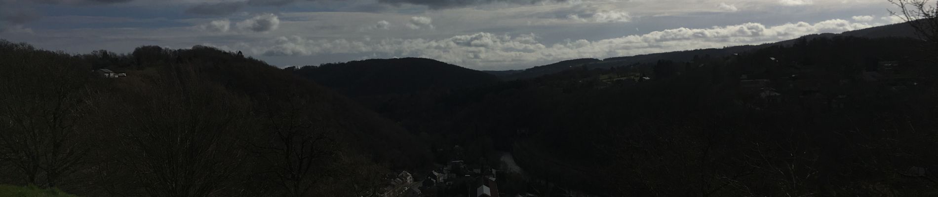
Trail Walking of 11.2 km to be discovered at Wallonia, Liège, Olne. This trail is proposed by AnneCecile.
Photos


Positioning
Country:
Belgium
Region :
Wallonia
Department/Province :
Liège
Municipality :
Olne
Location:
Olne
Start:(Dec)
Start:(UTM)
694652 ; 5607831 (31U) N.
Comments