


banneux . rougethier . nanneaux

stef789
User GUIDE
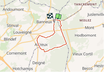

Length
9.4 km

Max alt
348 m

Uphill gradient
174 m
Km-Effort
11.7 km

Min alt
234 m

Downhill gradient
171 m
Boucle
Yes
Creation date :
2020-03-08 11:07:16.242
Updated on :
2020-03-08 13:51:17.532
2h13
Difficulty : Very easy

FREE GPS app for hiking
 SityTrail
IGN / Geographical institutes
SityTrail Plus
The world is yours!
About
Trail Walking of 9.4 km to be discovered at Wallonia, Liège, Sprimont. This trail is proposed by stef789.
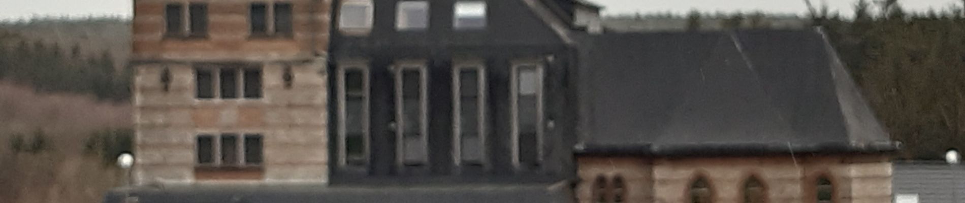
Photos


Positioning
Country:
Belgium
Region :
Wallonia
Department/Province :
Liège
Municipality :
Sprimont
Location:
Louveigné
Start:(Dec)
Start:(UTM)
694752 ; 5602003 (31U) N.
Comments