


santeuil

avdem
User
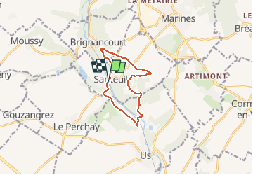

Length
9.1 km

Max alt
121 m

Uphill gradient
140 m
Km-Effort
11 km

Min alt
51 m

Downhill gradient
141 m
Boucle
Yes
Creation date :
2020-03-10 08:49:11.279
Updated on :
2020-03-10 11:01:27.623
2h09
Difficulty : Very easy

FREE GPS app for hiking
 SityTrail
IGN / Geographical institutes
SityTrail Plus
The world is yours!
About
Trail Walking of 9.1 km to be discovered at Ile-de-France, Val-d'Oise, Santeuil. This trail is proposed by avdem.
Description
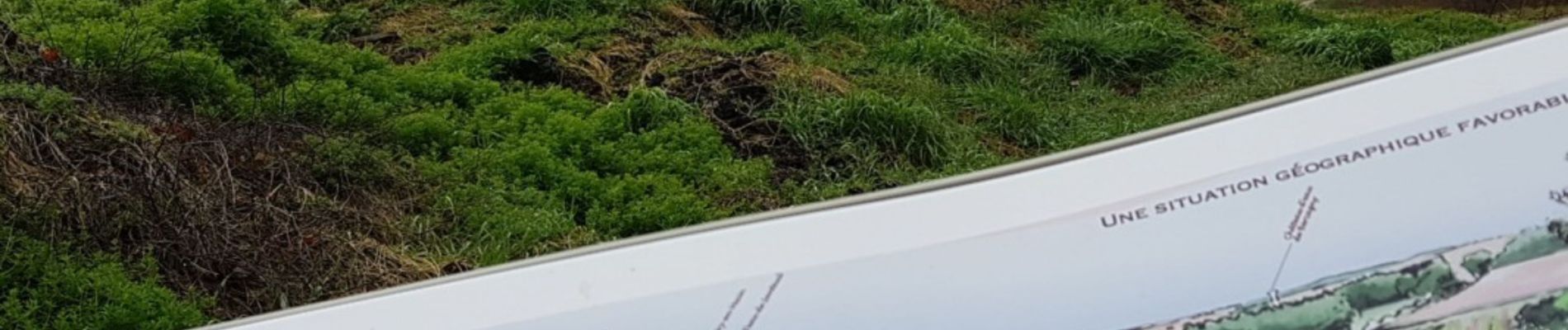
tres humide
Photos


Positioning
Country:
France
Region :
Ile-de-France
Department/Province :
Val-d'Oise
Municipality :
Santeuil
Location:
Unknown
Start:(Dec)
Start:(UTM)
423343 ; 5441810 (31U) N.
Comments