


ramondens100320 ex

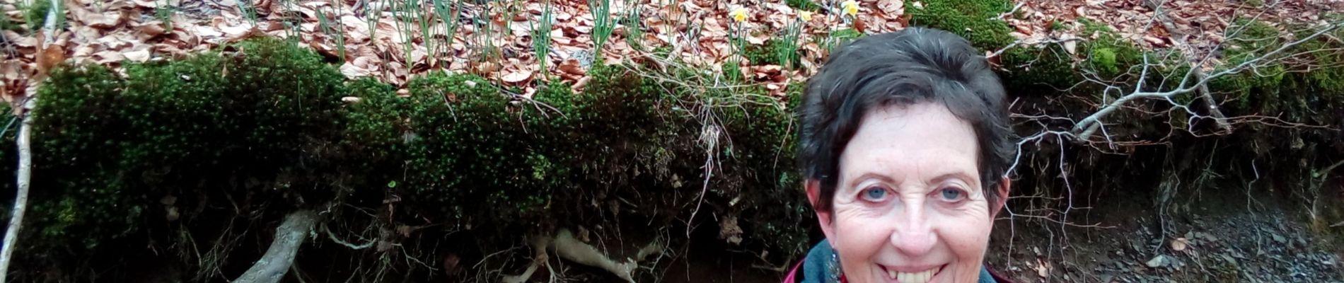
arnoultjf
User
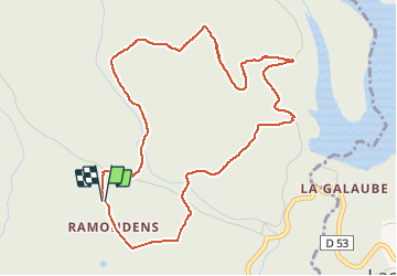

Length
5.8 km

Max alt
836 m

Uphill gradient
163 m
Km-Effort
8 km

Min alt
730 m

Downhill gradient
163 m
Boucle
Yes
Creation date :
2020-03-10 14:05:40.027
Updated on :
2020-03-11 19:02:14.822
1h26
Difficulty : Very easy

FREE GPS app for hiking
 SityTrail
IGN / Geographical institutes
SityTrail Plus
The world is yours!
About
Trail Walking of 5.8 km to be discovered at Occitania, Tarn, Arfons. This trail is proposed by arnoultjf.
Description
blabla
Photos


Positioning
Country:
France
Region :
Occitania
Department/Province :
Tarn
Municipality :
Arfons
Location:
Unknown
Start:(Dec)
Start:(UTM)
435897 ; 4805681 (31T) N.
Comments