


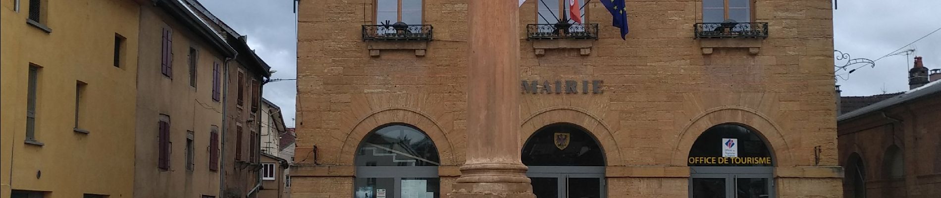
Rougemont

TRIMAILLE
User
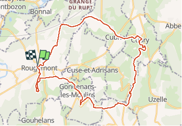

Length
23 km

Max alt
462 m

Uphill gradient
512 m
Km-Effort
30 km

Min alt
253 m

Downhill gradient
511 m
Boucle
Yes
Creation date :
2020-03-11 13:53:19.252
Updated on :
2020-03-12 19:59:27.873
7h04
Difficulty : Very easy

FREE GPS app for hiking
 SityTrail
IGN / Geographical institutes
SityTrail Plus
The world is yours!
About
Trail Walking of 23 km to be discovered at Bourgogne-Franche-Comté, Doubs, Rougemont. This trail is proposed by TRIMAILLE.
Photos


23 photos in total. Please click on a photo to see them all in the gallery.
Positioning
Country:
France
Region :
Bourgogne-Franche-Comté
Department/Province :
Doubs
Municipality :
Rougemont
Location:
Unknown
Start:(Dec)
Start:(UTM)
300660 ; 5262028 (32T) N.
Comments