


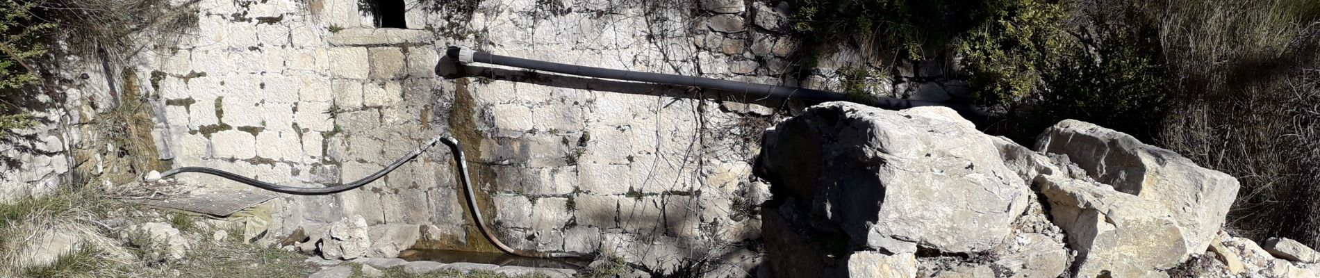
châteauneuf les moustiers

marmotte83
User

Length
6.8 km

Max alt
1331 m

Uphill gradient
687 m
Km-Effort
15.6 km

Min alt
984 m

Downhill gradient
565 m
Boucle
No
Creation date :
2020-02-28 14:41:55.888
Updated on :
2020-03-14 13:53:02.477
2h27
Difficulty : Very easy

FREE GPS app for hiking
 SityTrail
IGN / Geographical institutes
SityTrail Plus
The world is yours!
About
Trail Walking of 6.8 km to be discovered at Provence-Alpes-Côte d'Azur, Alpes-de-Haute-Provence, La Palud-sur-Verdon. This trail is proposed by marmotte83.
Photos


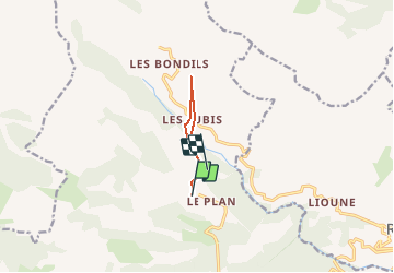
Positioning
Country:
France
Region :
Provence-Alpes-Côte d'Azur
Department/Province :
Alpes-de-Haute-Provence
Municipality :
La Palud-sur-Verdon
Location:
Châteauneuf-lès-Moustiers
Start:(Dec)
Start:(UTM)
285486 ; 4853864 (32T) N.
Comments