


Chapelle St Ours

crocau
User

Length
2.3 km

Max alt
631 m

Uphill gradient
392 m
Km-Effort
6.4 km

Min alt
234 m

Downhill gradient
34 m
Boucle
No
Creation date :
2020-03-18 15:14:18.109
Updated on :
2020-03-18 16:50:41.716
50m
Difficulty : Very easy

FREE GPS app for hiking
 SityTrail
IGN / Geographical institutes
SityTrail Plus
The world is yours!
About
Trail Walking of 2.3 km to be discovered at Auvergne-Rhône-Alpes, Isère, Veurey-Voroize. This trail is proposed by crocau.
Description
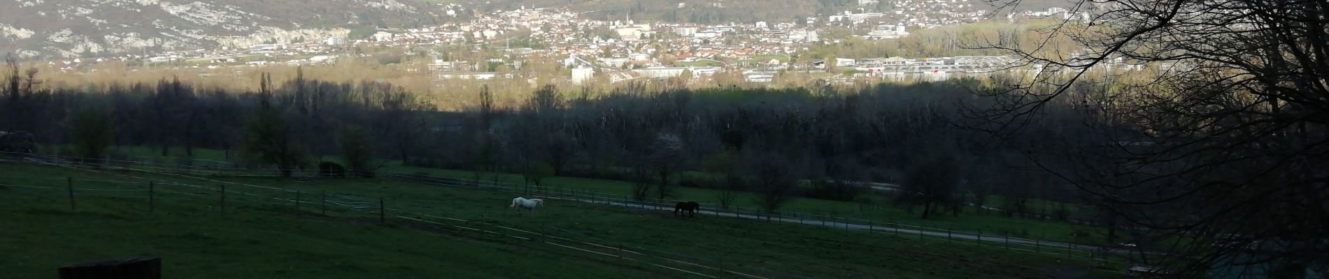
Ça monte mais quel point de vue
Photos


21 photos in total. Please click on a photo to see them all in the gallery.
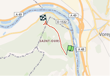
Positioning
Country:
France
Region :
Auvergne-Rhône-Alpes
Department/Province :
Isère
Municipality :
Veurey-Voroize
Location:
Unknown
Start:(Dec)
Start:(UTM)
704884 ; 5017858 (31T) N.
Comments