


rioux

rcharlet
User
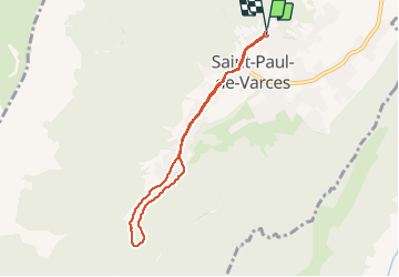

Length
6.8 km

Max alt
621 m

Uphill gradient
259 m
Km-Effort
10.2 km

Min alt
393 m

Downhill gradient
251 m
Boucle
Yes
Creation date :
2020-03-19 10:42:27.902
Updated on :
2020-03-19 11:40:19.321
57m
Difficulty : Very easy

FREE GPS app for hiking
 SityTrail
IGN / Geographical institutes
SityTrail Plus
The world is yours!
About
Trail Running of 6.8 km to be discovered at Auvergne-Rhône-Alpes, Isère, Saint-Paul-de-Varces. This trail is proposed by rcharlet.
Positioning
Country:
France
Region :
Auvergne-Rhône-Alpes
Department/Province :
Isère
Municipality :
Saint-Paul-de-Varces
Location:
Unknown
Start:(Dec)
Start:(UTM)
708189 ; 4994759 (31T) N.
Comments