


Pradelles Cx de la Pause

Spinnaker
User

Length
11.4 km

Max alt
1336 m

Uphill gradient
246 m
Km-Effort
14.7 km

Min alt
1111 m

Downhill gradient
252 m
Boucle
Yes
Creation date :
2020-03-19 10:02:59.398
Updated on :
2020-03-19 12:27:08.298
2h22
Difficulty : Very easy

FREE GPS app for hiking
 SityTrail
IGN / Geographical institutes
SityTrail Plus
The world is yours!
About
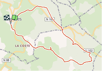
Trail Walking of 11.4 km to be discovered at Auvergne-Rhône-Alpes, Haute-Loire, Pradelles. This trail is proposed by Spinnaker.
Positioning
Country:
France
Region :
Auvergne-Rhône-Alpes
Department/Province :
Haute-Loire
Municipality :
Pradelles
Location:
Unknown
Start:(Dec)
Start:(UTM)
569855 ; 4957573 (31T) N.
Comments