


Sclaignaux

Bavo Teerlynck
User

Length
11.6 km

Max alt
208 m

Uphill gradient
268 m
Km-Effort
15.1 km

Min alt
122 m

Downhill gradient
269 m
Boucle
Yes
Creation date :
2020-03-21 11:25:02.741
Updated on :
2020-03-22 12:03:28.894
3h19
Difficulty : Easy

FREE GPS app for hiking
 SityTrail
IGN / Geographical institutes
SityTrail Plus
The world is yours!
About
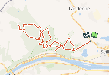
Trail Walking of 11.6 km to be discovered at Wallonia, Namur, Andenne. This trail is proposed by Bavo Teerlynck.
Positioning
Country:
Belgium
Region :
Wallonia
Department/Province :
Namur
Municipality :
Andenne
Location:
Seilles
Start:(Dec)
Start:(UTM)
646861 ; 5596526 (31U) N.
Comments
Top !