


Tour sommets live de Pradelles

Spinnaker
User
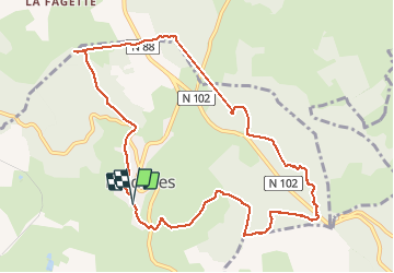

Length
11.1 km

Max alt
1309 m

Uphill gradient
308 m
Km-Effort
15.3 km

Min alt
1111 m

Downhill gradient
317 m
Boucle
Yes
Creation date :
2020-03-22 12:23:55.641
Updated on :
2020-03-22 15:10:48.856
2h12
Difficulty : Easy

FREE GPS app for hiking
 SityTrail
IGN / Geographical institutes
SityTrail Plus
The world is yours!
About
Trail Walking of 11.1 km to be discovered at Auvergne-Rhône-Alpes, Haute-Loire, Pradelles. This trail is proposed by Spinnaker.
Description
comme son nom le dit
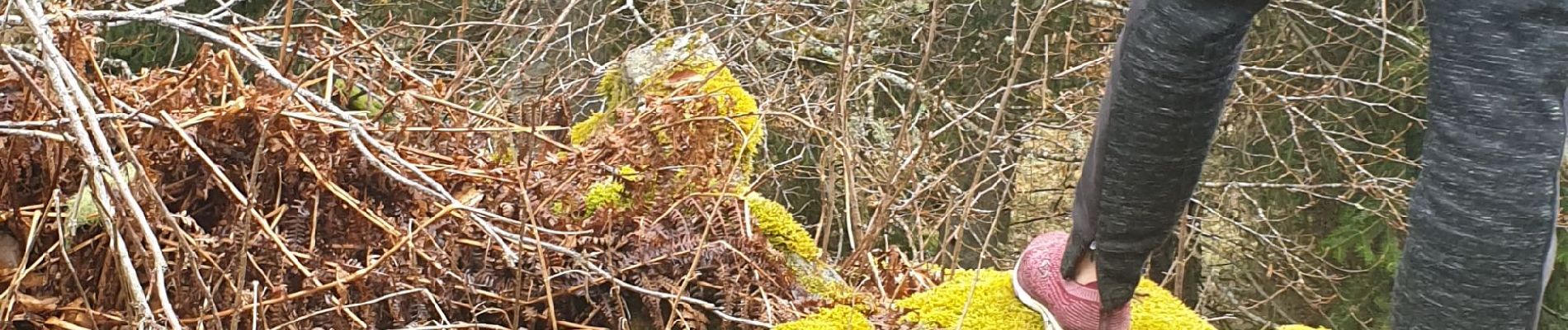
Photos


Positioning
Country:
France
Region :
Auvergne-Rhône-Alpes
Department/Province :
Haute-Loire
Municipality :
Pradelles
Location:
Unknown
Start:(Dec)
Start:(UTM)
569850 ; 4957556 (31T) N.
Comments