


Tour crouy

Djaie60
User

Length
2.9 km

Max alt
119 m

Uphill gradient
31 m
Km-Effort
3.3 km

Min alt
89 m

Downhill gradient
29 m
Boucle
Yes
Creation date :
2020-03-24 15:06:40.0
Updated on :
2020-03-24 16:23:01.438
45m
Difficulty : Easy

FREE GPS app for hiking
 SityTrail
IGN / Geographical institutes
SityTrail Plus
The world is yours!
About
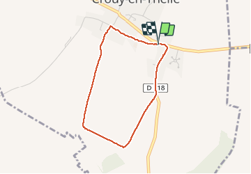
Trail Walking of 2.9 km to be discovered at Hauts-de-France, Oise, Crouy-en-Thelle. This trail is proposed by Djaie60.
Description
St Michel
Positioning
Country:
France
Region :
Hauts-de-France
Department/Province :
Oise
Municipality :
Crouy-en-Thelle
Location:
Unknown
Start:(Dec)
Start:(UTM)
450842 ; 5451150 (31U) N.
Comments