


méan ac

colsonandre
User

Length
8.1 km

Max alt
341 m

Uphill gradient
114 m
Km-Effort
9.6 km

Min alt
263 m

Downhill gradient
114 m
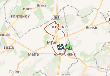
Boucle
Yes
Creation date :
2020-04-02 12:02:46.711
Updated on :
2020-04-02 14:46:50.731
2h43
Difficulty : Medium

FREE GPS app for hiking
 SityTrail
IGN / Geographical institutes
SityTrail Plus
The world is yours!
About
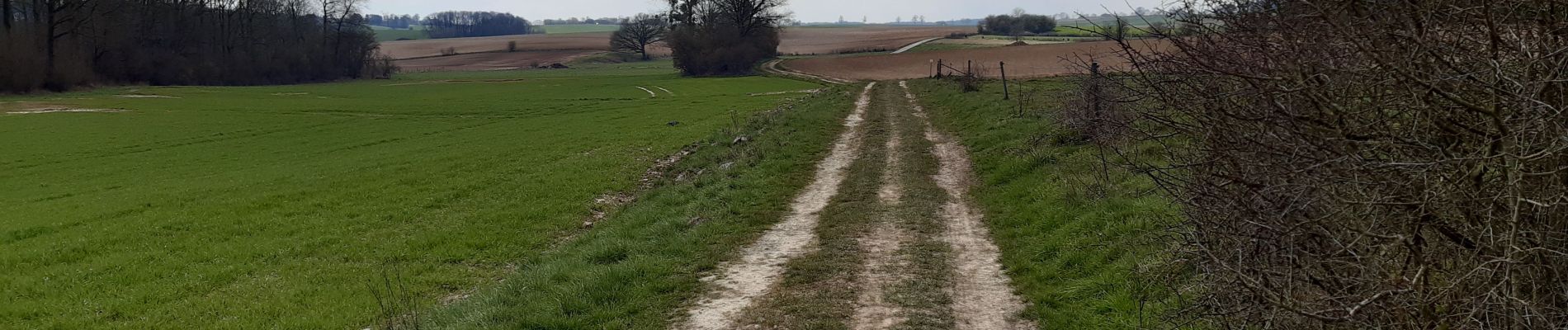
Trail Walking of 8.1 km to be discovered at Wallonia, Namur, Havelange. This trail is proposed by colsonandre.
Description
circuit habituel
Photos


Positioning
Country:
Belgium
Region :
Wallonia
Department/Province :
Namur
Municipality :
Havelange
Location:
Méan
Start:(Dec)
Start:(UTM)
667059 ; 5580595 (31U) N.
Comments