


Sart tilman . colonster . sart tilman

stef789
User GUIDE
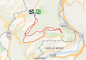

Length
7.9 km

Max alt
254 m

Uphill gradient
145 m
Km-Effort
9.9 km

Min alt
150 m

Downhill gradient
145 m
Boucle
Yes
Creation date :
2020-04-02 13:40:51.322
Updated on :
2020-04-02 16:01:42.41
2h18
Difficulty : Very easy

FREE GPS app for hiking
 SityTrail
IGN / Geographical institutes
SityTrail Plus
The world is yours!
About
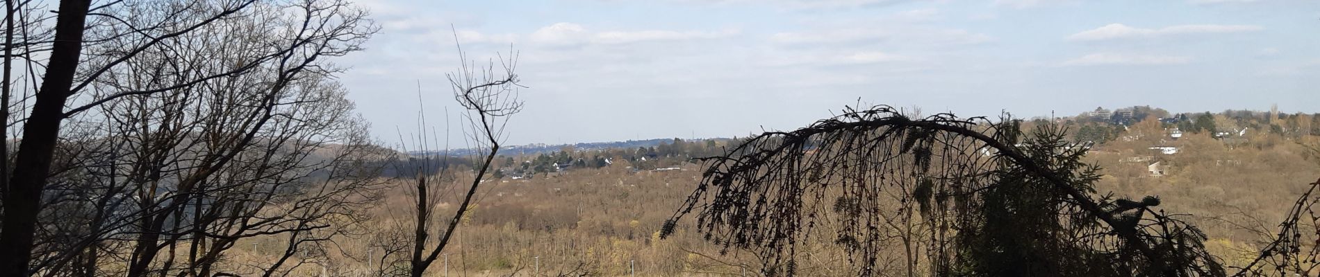
Trail Walking of 7.9 km to be discovered at Wallonia, Liège, Liège. This trail is proposed by stef789.
Photos


Positioning
Country:
Belgium
Region :
Wallonia
Department/Province :
Liège
Municipality :
Liège
Location:
Angleur
Start:(Dec)
Start:(UTM)
682023 ; 5607069 (31U) N.
Comments