


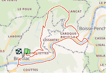

17.6 km | 24 km-effort


User


FREE GPS app for hiking
 SityTrail
IGN / Geographical institutes
SityTrail World
The world is yours!
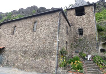
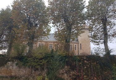
Trail Walking of 13.3 km to be discovered at Occitania, Aveyron, Bouillac. This trail is proposed by jeanlucien.
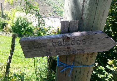
Balisage Jaune
Donnée pour 03:30.
Difficulté ** (descente assez raide et caillouteuse)
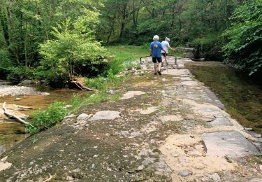
On foot
Walking

Walking
Walking
Walking