


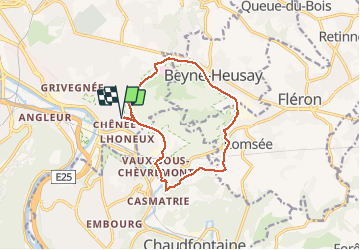
chenee beynes chevremont chenee

stef789
User GUIDE

Length
11.4 km

Max alt
248 m

Uphill gradient
229 m
Km-Effort
14.4 km

Min alt
72 m

Downhill gradient
225 m
Boucle
Yes
Creation date :
2020-04-19 12:53:17.192
Updated on :
2020-04-19 15:32:49.65
2h38
Difficulty : Very easy

FREE GPS app for hiking
 SityTrail
IGN / Geographical institutes
SityTrail Plus
The world is yours!
About
Trail Walking of 11.4 km to be discovered at Wallonia, Liège, Liège. This trail is proposed by stef789.
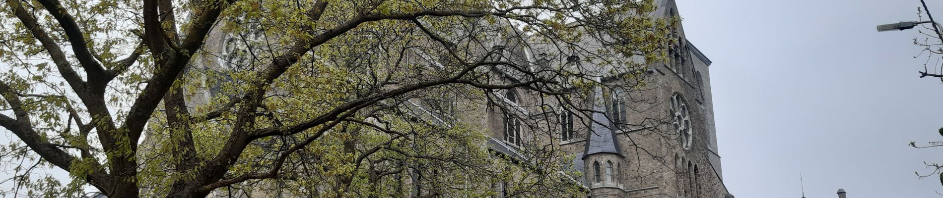
Photos


Positioning
Country:
Belgium
Region :
Wallonia
Department/Province :
Liège
Municipality :
Liège
Location:
Chênée
Start:(Dec)
Start:(UTM)
685490 ; 5609994 (31U) N.
Comments