


st genix

trailer38
User

Length
22 km

Max alt
735 m

Uphill gradient
894 m
Km-Effort
34 km

Min alt
214 m

Downhill gradient
895 m
Boucle
Yes
Creation date :
2014-12-10 00:00:00.0
Updated on :
2014-12-10 00:00:00.0
2h30
Difficulty : Unknown

FREE GPS app for hiking
 SityTrail
IGN / Geographical institutes
SityTrail Plus
The world is yours!
About
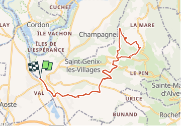
Trail Other activity of 22 km to be discovered at Auvergne-Rhône-Alpes, Savoy, Saint-Genix-les-Villages. This trail is proposed by trailer38.
Positioning
Country:
France
Region :
Auvergne-Rhône-Alpes
Department/Province :
Savoy
Municipality :
Saint-Genix-les-Villages
Location:
Saint-Genix-sur-Guiers
Start:(Dec)
Start:(UTM)
705099 ; 5053007 (31T) N.
Comments