


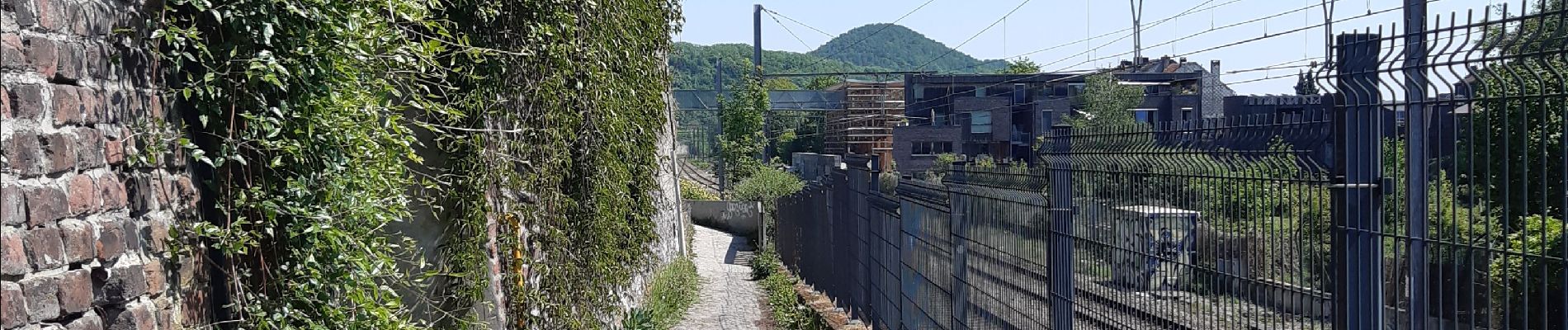
rando la plus bucolique sur les coteaux rive gauche de la meuse

stef789
User GUIDE
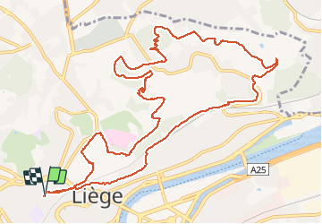

Length
13.4 km

Max alt
233 m

Uphill gradient
342 m
Km-Effort
18 km

Min alt
66 m

Downhill gradient
340 m
Boucle
Yes
Creation date :
2020-05-07 10:15:15.465
Updated on :
2020-05-07 13:21:30.981
3h05
Difficulty : Very easy

FREE GPS app for hiking
 SityTrail
IGN / Geographical institutes
SityTrail Plus
The world is yours!
About
Trail Walking of 13.4 km to be discovered at Wallonia, Liège, Liège. This trail is proposed by stef789.
Photos


26 photos in total. Please click on a photo to see them all in the gallery.
Positioning
Country:
Belgium
Region :
Wallonia
Department/Province :
Liège
Municipality :
Liège
Location:
Glain
Start:(Dec)
Start:(UTM)
681237 ; 5613497 (31U) N.
Comments