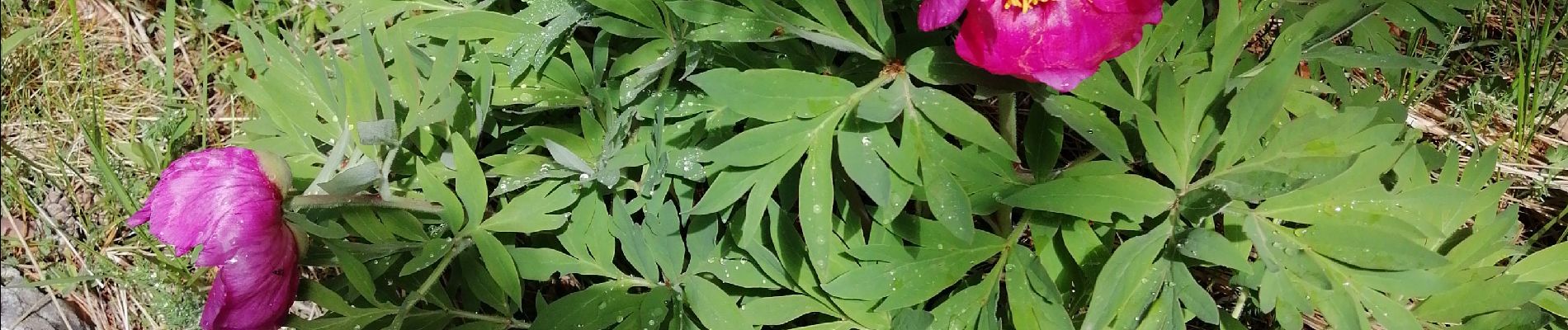
Greolieres les neiges, le sentier des pivoines et les crêtes

domi06
User


5h25
Difficulty : Medium

FREE GPS app for hiking
 SityTrail
IGN / Geographical institutes
SityTrail Plus
The world is yours!
About
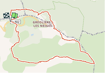
Trail Walking of 14 km to be discovered at Provence-Alpes-Côte d'Azur, Maritime Alps, Gréolières. This trail is proposed by domi06.
Description
Départ centre de ski de fond. Traverser la route et prendre le sentier à la balise 196, direction Gréolière Les Neiges, par une belle forêt. Rejoindre ensuite les crêtes, croix de Verse, Jerusalem, le Cheiron.
Photos


Positioning
Comments