


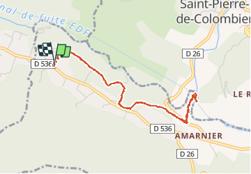
balade de champagne pont de Saint-Pierre de colombier

raab
User

Length
5 km

Max alt
467 m

Uphill gradient
91 m
Km-Effort
6.2 km

Min alt
376 m

Downhill gradient
91 m
Boucle
Yes
Creation date :
2020-05-17 09:27:49.855
Updated on :
2020-05-17 10:58:10.355
1h30
Difficulty : Very easy

FREE GPS app for hiking
 SityTrail
IGN / Geographical institutes
SityTrail Plus
The world is yours!
About
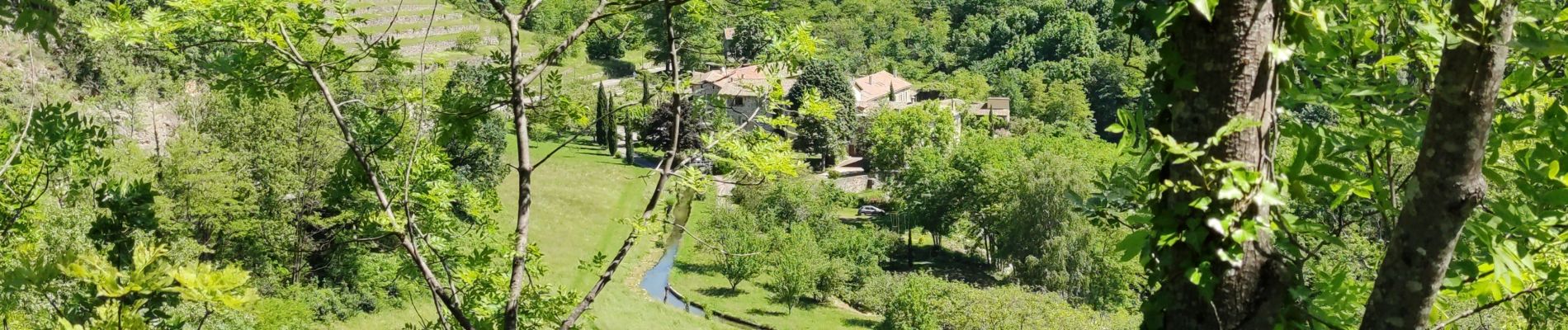
Trail Walking of 5 km to be discovered at Auvergne-Rhône-Alpes, Ardèche, Meyras. This trail is proposed by raab.
Photos


Positioning
Country:
France
Region :
Auvergne-Rhône-Alpes
Department/Province :
Ardèche
Municipality :
Meyras
Location:
Unknown
Start:(Dec)
Start:(UTM)
598316 ; 4950187 (31T) N.
Comments