


col du cros par la brasque

Coryphene
User
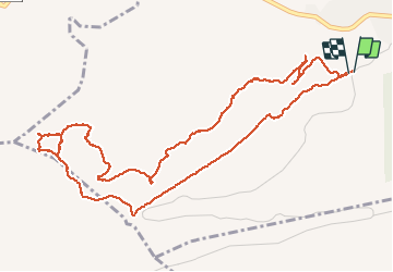

Length
6.9 km

Max alt
884 m

Uphill gradient
315 m
Km-Effort
11.1 km

Min alt
679 m

Downhill gradient
313 m
Boucle
Yes
Creation date :
2020-05-18 07:45:26.826
Updated on :
2020-05-18 15:25:53.434
5h33
Difficulty : Difficult

FREE GPS app for hiking
 SityTrail
IGN / Geographical institutes
SityTrail Plus
The world is yours!
About
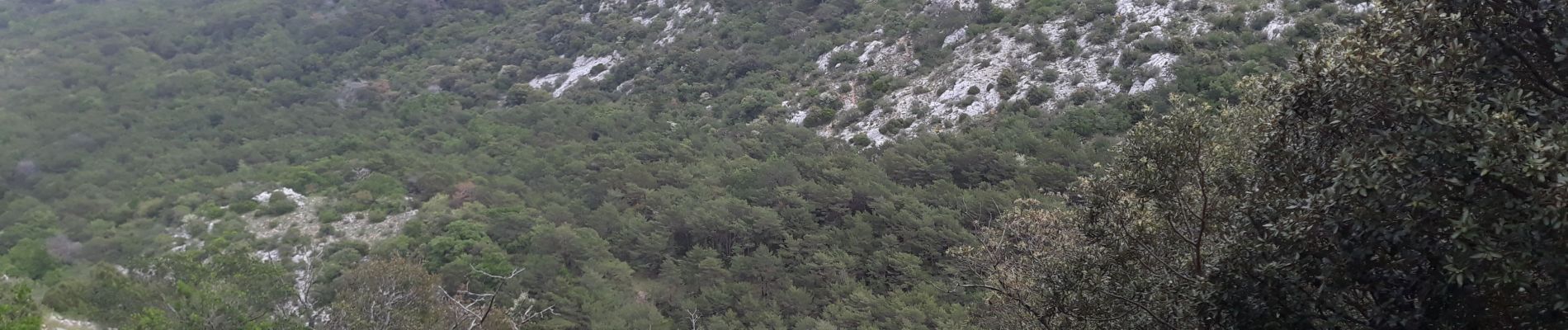
Trail Walking of 6.9 km to be discovered at Provence-Alpes-Côte d'Azur, Var, Plan-d'Aups-Sainte-Baume. This trail is proposed by Coryphene.
Photos


Positioning
Country:
France
Region :
Provence-Alpes-Côte d'Azur
Department/Province :
Var
Municipality :
Plan-d'Aups-Sainte-Baume
Location:
Unknown
Start:(Dec)
Start:(UTM)
719472 ; 4800305 (31T) N.
Comments