


Chaumont centre-Verbiesles-Ville aux bois-Chaumont

janussity
User
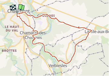

Length
21 km

Max alt
389 m

Uphill gradient
283 m
Km-Effort
24 km

Min alt
252 m

Downhill gradient
283 m
Boucle
Yes
Creation date :
2020-05-19 11:10:59.836
Updated on :
2020-05-19 16:13:34.321
4h18
Difficulty : Difficult

FREE GPS app for hiking
 SityTrail
IGN / Geographical institutes
SityTrail Plus
The world is yours!
About
Trail Walking of 21 km to be discovered at Grand Est, Haute-Marne, Chaumont. This trail is proposed by janussity.
Description
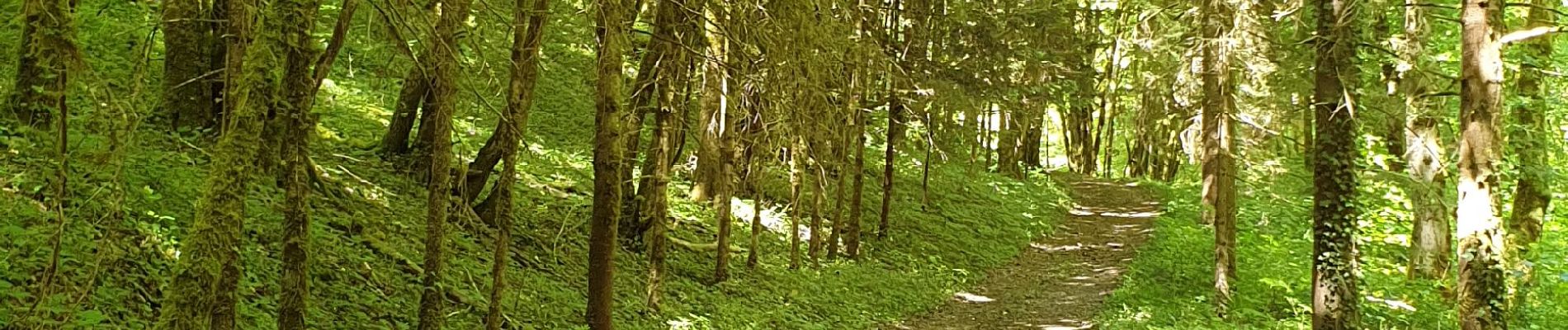
Rando par beau temps printanier avec un peu de vent.Descente vers Chamarandes, canal, Verbiesles, chemin Vieux Val, Ville aux bois, Choignes et Chaumont centre.
Variée : 20,5 km , 385m dénivelé .
Photos


Positioning
Country:
France
Region :
Grand Est
Department/Province :
Haute-Marne
Municipality :
Chaumont
Location:
Unknown
Start:(Dec)
Start:(UTM)
659163 ; 5330584 (31U) N.
Comments