


La glacière-Corençon

crocau
User
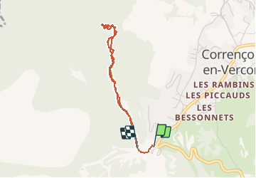

Length
3.5 km

Max alt
1272 m

Uphill gradient
144 m
Km-Effort
5.3 km

Min alt
1147 m

Downhill gradient
114 m
Boucle
Yes
Creation date :
2020-05-21 12:38:04.338
Updated on :
2020-05-21 14:34:42.024
1h35
Difficulty : Very easy

FREE GPS app for hiking
 SityTrail
IGN / Geographical institutes
SityTrail Plus
The world is yours!
About
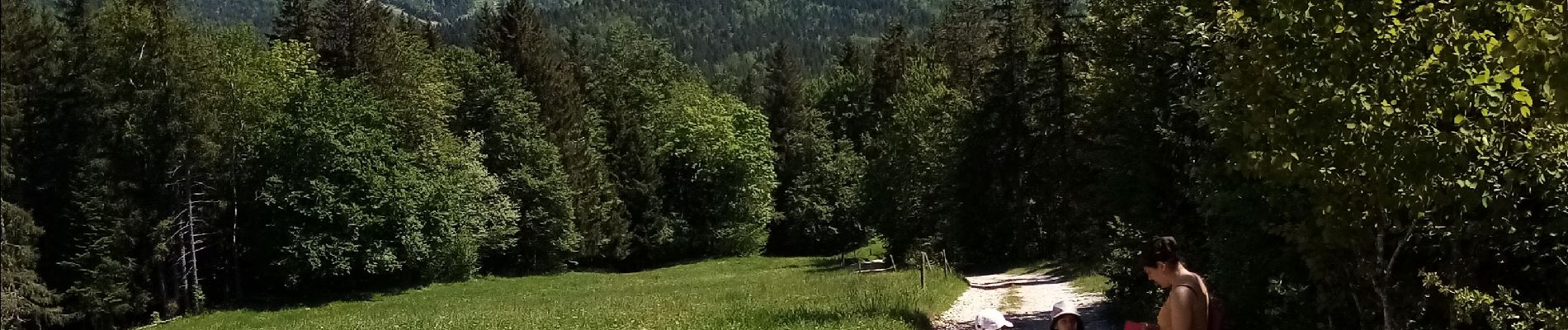
Trail Walking of 3.5 km to be discovered at Auvergne-Rhône-Alpes, Isère, Corrençon-en-Vercors. This trail is proposed by crocau.
Photos


Positioning
Country:
France
Region :
Auvergne-Rhône-Alpes
Department/Province :
Isère
Municipality :
Corrençon-en-Vercors
Location:
Unknown
Start:(Dec)
Start:(UTM)
698341 ; 4988760 (31T) N.
Comments