


Marche sportive Coye

domifon
User
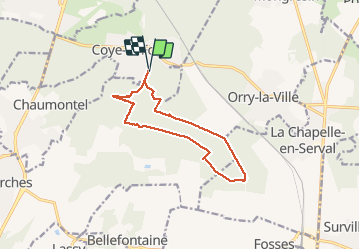

Length
11.2 km

Max alt
143 m

Uphill gradient
166 m
Km-Effort
13.4 km

Min alt
58 m

Downhill gradient
168 m
Boucle
Yes
Creation date :
2020-05-24 07:34:24.0
Updated on :
2020-05-24 09:51:04.526
2h16
Difficulty : Difficult

FREE GPS app for hiking
 SityTrail
IGN / Geographical institutes
SityTrail Plus
The world is yours!
About
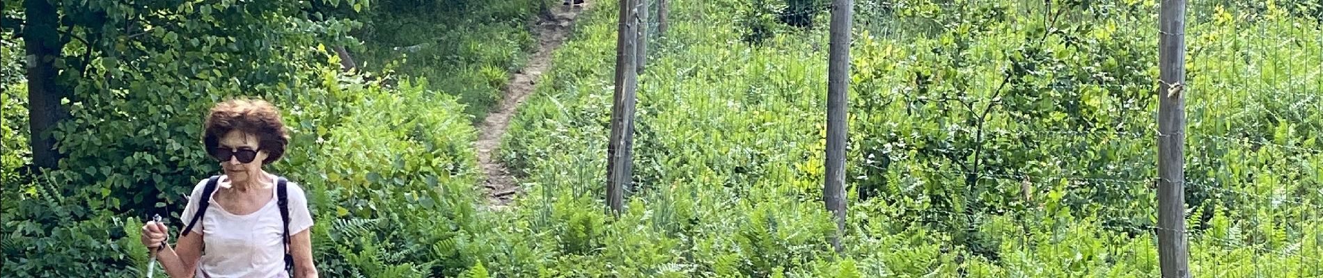
Trail Nordic walking of 11.2 km to be discovered at Hauts-de-France, Oise, Coye-la-Forêt. This trail is proposed by domifon.
Photos

Positioning
Country:
France
Region :
Hauts-de-France
Department/Province :
Oise
Municipality :
Coye-la-Forêt
Location:
Unknown
Start:(Dec)
Start:(UTM)
461576 ; 5442866 (31U) N.
Comments