


Lacs de Rina

ferosine
User
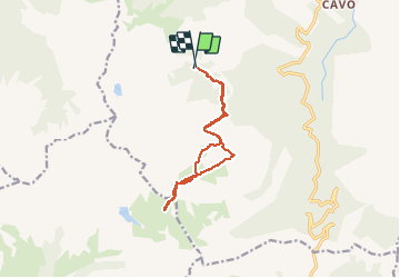

Length
12.6 km

Max alt
1993 m

Uphill gradient
742 m
Km-Effort
23 km

Min alt
1324 m

Downhill gradient
776 m
Boucle
Yes
Creation date :
2020-05-24 07:28:11.062
Updated on :
2020-05-24 15:54:42.534
8h00
Difficulty : Very easy

FREE GPS app for hiking
 SityTrail
IGN / Geographical institutes
SityTrail Plus
The world is yours!
About
Trail Walking of 12.6 km to be discovered at Corsica, Haute-Corse, Ghisoni. This trail is proposed by ferosine.
Positioning
Country:
France
Region :
Corsica
Department/Province :
Haute-Corse
Municipality :
Ghisoni
Location:
Unknown
Start:(Dec)
Start:(UTM)
513076 ; 4657618 (32T) N.
Comments