Circuit Collioure-Tour de la Madaloc

acatala
User


Length
20 km

Max alt
636 m

Uphill gradient
838 m
Km-Effort
31 km

Min alt
9 m

Downhill gradient
847 m
Boucle
Yes
Creation date :
2020-05-24 08:47:46.094
Updated on :
2020-05-24 17:35:42.627
3h01
Difficulty : Difficult

FREE GPS app for hiking
 SityTrail
IGN / Geographical institutes
SityTrail Plus
The world is yours!
About
Trail Mountain bike of 20 km to be discovered at Occitania, Pyrénées-Orientales, Collioure. This trail is proposed by acatala.
Description
Le retour s effectue par des chemins de vignes.
Dernière montée très raide, il vaut mieux avoir un VTT électrique.
Magnifique vue sur toute la cote.
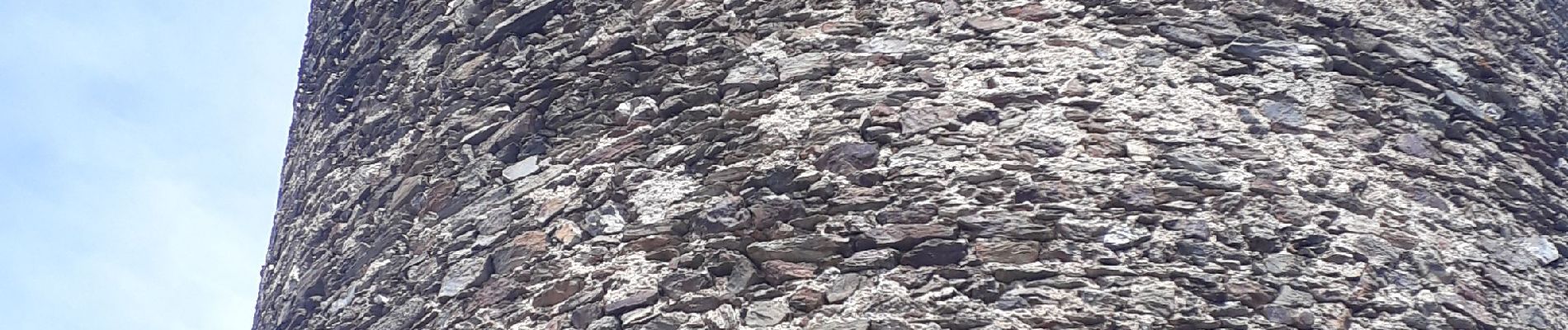
Photos


Positioning
Country:
France
Region :
Occitania
Department/Province :
Pyrénées-Orientales
Municipality :
Collioure
Location:
Unknown
Start:(Dec)
Start:(UTM)
506753 ; 4708010 (31T) N.
Comments