Trail Walking Moulinet - Cimes de Ventabren et Mangiabo depuis l'Authion - Photo

Cimes de Ventabren et Mangiabo depuis l'Authion

 aris
aris

User

© OpenStreetMap contributors
Length
Length
15.7 km
Max alt
Max alt
1968 m
Uphill gradient
Uphill gradient
729 m
Km-Effort
Km-Effort  
25 km
Min alt
Min alt
1678 m
Downhill gradient
Downhill gradient
728 m
Boucle
Boucle
Yes
Creation date :
2020-06-01 07:26:43.387
Updated on :
2020-06-06 22:05:48.83

(0 Reviews)

Walking
Walking
6h01
Difficulty : Medium

Scan this QR Code to open this trail in the SityTrail application

FREE GPS app for hiking

Logo SityTrail SityTrail

IGN / Geographical institutes

Download SityTrail from the App Store Download SityTrail from Google Play

Logo SityTrail SityTrail Plus

The world is yours!

Download SityTrail from the App Store Download SityTrail from Google Play Download SityTrail on Huawei AppGallery

About

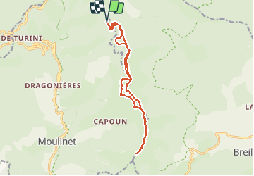
Trail Walking of 15.7 km to be discovered at Provence-Alpes-Côte d'Azur, Maritime Alps, Moulinet. This trail is proposed by aris.

Description

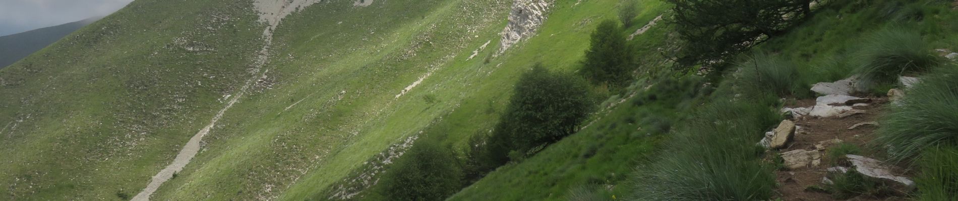
Parcours en crête à partir des cabanes vieilles sur le circuit de l'Authion. Circuit très agréable, en partie en forêt. Retour par la piste qui contourne les sommets.
Potentielle vue panoramique sur les sommets alentours, mais nous avons eu du brouillard.
La montée à la cime de Ventabren se fait hors sentier dans l'alpage. Attention à la descente, bien suivre la trace (barres de rochers).

Elevation profile

Photos

Positioning

Country:
France
Region :
Provence-Alpes-Côte d'Azur
Department/Province :
Maritime Alps
Municipality :
Moulinet
Location:
Unknown
Start:(UTM)
374709 ; 4871196 (32T) N.


Close
My subscriptions