


sevry 020620

guyernage25
User
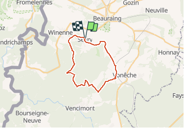

Length
20 km

Max alt
387 m

Uphill gradient
353 m
Km-Effort
25 km

Min alt
246 m

Downhill gradient
357 m
Boucle
Yes
Creation date :
2020-06-02 06:56:58.845
Updated on :
2020-06-02 14:49:28.513
4h26
Difficulty : Medium

FREE GPS app for hiking
 SityTrail
IGN / Geographical institutes
SityTrail Plus
The world is yours!
About
Trail Walking of 20 km to be discovered at Wallonia, Namur, Beauraing. This trail is proposed by guyernage25.
Description
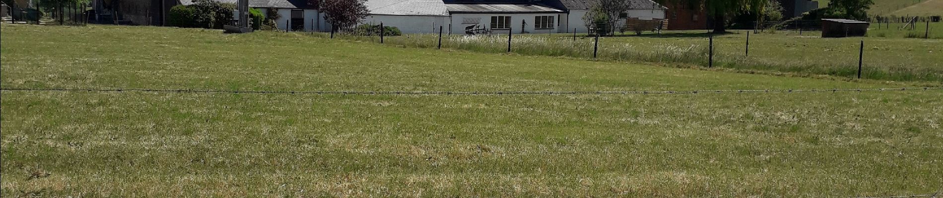
beaux panoramas famennois et balade forestiere
Photos

Positioning
Country:
Belgium
Region :
Wallonia
Department/Province :
Namur
Municipality :
Beauraing
Location:
Javingue
Start:(Dec)
Start:(UTM)
637841 ; 5550733 (31U) N.
Comments