


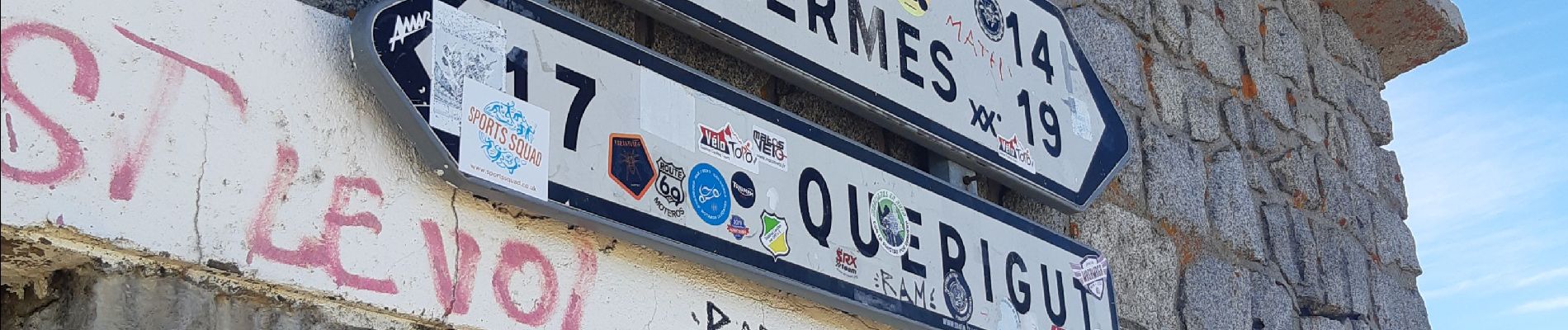
col de palheires

babouille
User
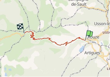

Length
10.6 km

Max alt
2001 m

Uphill gradient
872 m
Km-Effort
19.4 km

Min alt
1133 m

Downhill gradient
30 m
Boucle
No
Creation date :
2020-06-06 07:22:59.458
Updated on :
2020-06-06 09:13:27.738
1h39
Difficulty : Very difficult

FREE GPS app for hiking
 SityTrail
IGN / Geographical institutes
SityTrail Plus
The world is yours!
About
Trail Running of 10.6 km to be discovered at Occitania, Ariège, Mijanès. This trail is proposed by babouille.
Photos


Positioning
Country:
France
Region :
Occitania
Department/Province :
Ariège
Municipality :
Mijanès
Location:
Unknown
Start:(Dec)
Start:(UTM)
423121 ; 4731018 (31T) N.
Comments