


La rando de Rollon

Eve - Line
User
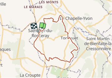

Length
14.7 km

Max alt
176 m

Uphill gradient
246 m
Km-Effort
17.9 km

Min alt
85 m

Downhill gradient
246 m
Boucle
Yes
Creation date :
2020-06-07 07:14:53.663
Updated on :
2020-06-07 10:21:49.944
3h05
Difficulty : Medium

FREE GPS app for hiking
 SityTrail
IGN / Geographical institutes
SityTrail Plus
The world is yours!
About
Trail Walking of 14.7 km to be discovered at Normandy, Calvados, Valorbiquet. This trail is proposed by Eve - Line.
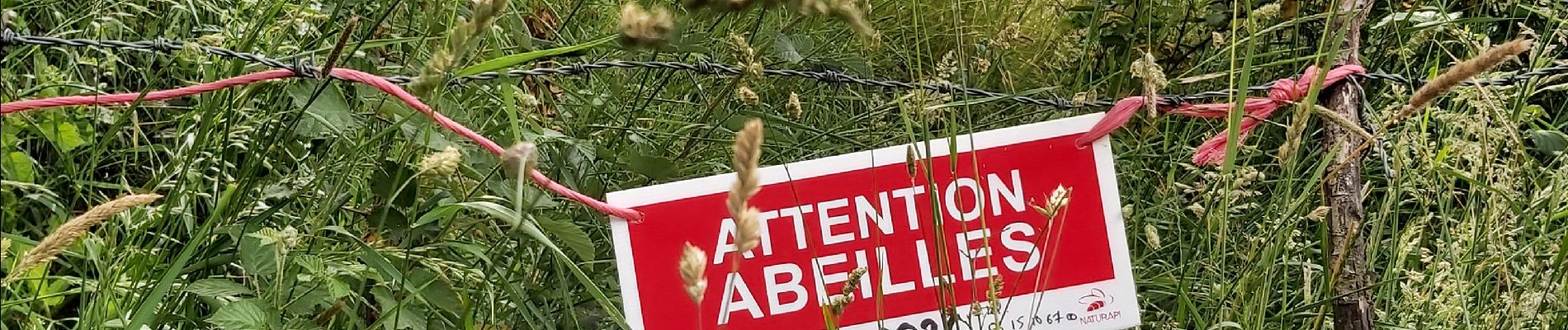
Photos


29 photos in total. Please click on a photo to see them all in the gallery.
Positioning
Country:
France
Region :
Normandy
Department/Province :
Calvados
Municipality :
Valorbiquet
Location:
Saint-Cyr-du-Ronceray
Start:(Dec)
Start:(UTM)
302486 ; 5436995 (31U) N.
Comments