


Rando Arc en Barrois 52

janussity
User
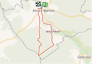

Length
12.3 km

Max alt
388 m

Uphill gradient
213 m
Km-Effort
15.1 km

Min alt
266 m

Downhill gradient
212 m
Boucle
Yes
Creation date :
2020-06-07 12:14:29.01
Updated on :
2020-06-07 17:09:50.374
2h59
Difficulty : Medium

FREE GPS app for hiking
 SityTrail
IGN / Geographical institutes
SityTrail Plus
The world is yours!
About
Trail Walking of 12.3 km to be discovered at Grand Est, Haute-Marne, Arc-en-Barrois. This trail is proposed by janussity.
Description
temps couvert
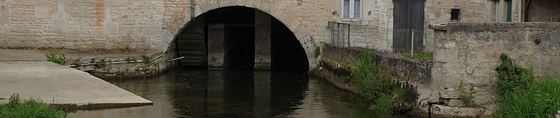
Photos


Positioning
Country:
France
Region :
Grand Est
Department/Province :
Haute-Marne
Municipality :
Arc-en-Barrois
Location:
Unknown
Start:(Dec)
Start:(UTM)
649801 ; 5312459 (31T) N.
Comments