


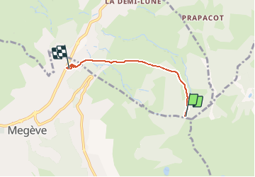

10.2 km | 17.6 km-effort


FREE GPS app for hiking
 SityTrail
IGN / Geographical institutes
SityTrail World
The world is yours!
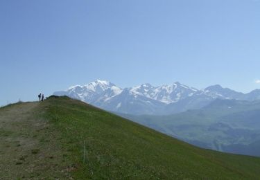
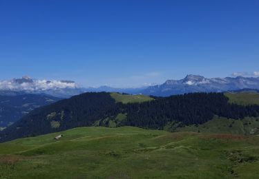
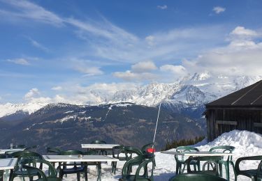
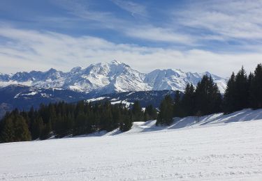
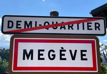
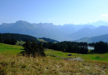
Trail Paragliding of 3.6 km to be discovered at Auvergne-Rhône-Alpes, Upper Savoy, Demi-Quartier. This trail is proposed by Jean Tezenas du Montcel.
Walking

Mountain bike

Walking
Walking
Walking
Snowshoes
Touring skiing
Walking
On foot