


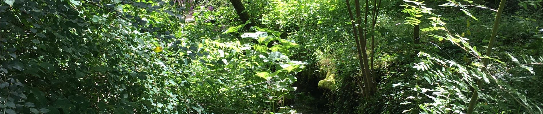
Bois, Rivière et champs

gossim2
User

Length
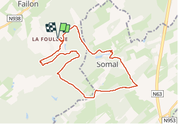
9.3 km

Max alt
309 m

Uphill gradient
218 m
Km-Effort
12.2 km

Min alt
228 m

Downhill gradient
219 m
Boucle
Yes
Creation date :
2020-06-13 08:25:36.0
Updated on :
2020-06-13 11:35:43.405
3h08
Difficulty : Medium

FREE GPS app for hiking
 SityTrail
IGN / Geographical institutes
SityTrail Plus
The world is yours!
About
Trail Walking of 9.3 km to be discovered at Wallonia, Namur, Havelange. This trail is proposed by gossim2.
Photos


Positioning
Country:
Belgium
Region :
Wallonia
Department/Province :
Namur
Municipality :
Havelange
Location:
Barvaux-Condroz
Start:(Dec)
Start:(UTM)
663858 ; 5578161 (31U) N.
Comments
Magnifique randonnée 👍👍
Magnifique balade. Parcours varié avec de superbes points de vue.
Très beau coin de Belgique. Château, prairies, beaux bois. Belle découverte. Merci.