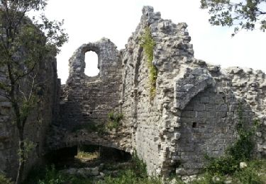
Trail Walking Montmirat - MONTMIRAT - BOIS DE LENS - 13.7Km - 04h30 - Dénivelé 160 m - Photo

MONTMIRAT - BOIS DE LENS - 13.7Km - 04h30 - Dénivelé 160 m

© OpenStreetMap contributors
Length
Length
13.6 km
Max alt
Max alt
253 m
Uphill gradient
Uphill gradient
324 m
Km-Effort
Km-Effort  
18 km
Min alt
Min alt
87 m
Downhill gradient
Downhill gradient
324 m
Boucle
Boucle
Yes
Creation date :
2014-12-10 00:00:00.0
Updated on :
2014-12-10 00:00:00.0

(1 Reviews)

Walking
Walking
3h49
Difficulty : Medium

Scan this QR Code to open this trail in the SityTrail application

FREE GPS app for hiking

Logo SityTrail SityTrail

IGN / Geographical institutes

Download SityTrail from the App Store Download SityTrail from Google Play

Logo SityTrail SityTrail World

The world is yours!

Download SityTrail from the App Store Download SityTrail from Google Play Download SityTrail on Huawei AppGallery

About

Trail Walking of 13.6 km to be discovered at Occitania, Gard, Montmirat. This trail is proposed by dansmabulle.

Description

13.7Km - 04h30
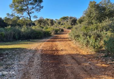
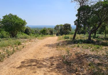
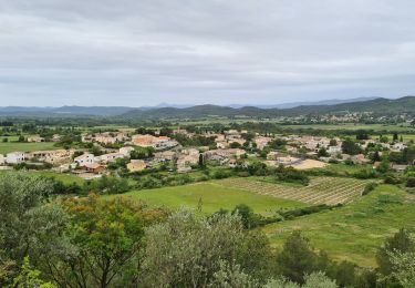
Départ randonnée : Montmirat sur la D6110 entre Sommières et Alès. se garer derrière la mairie rue des écoles. Eviter les périodes de forte chaleur, et les jours de chasse. Depuis le parking prendre la rue de l'ancien four et suivre la trace GPS.La randonnée en majorité sur piste, ne présente pas de difficulté.En suivant la trace, ne pas oublier de faire 3 crochets:- Au niveau du bois de Lens pour découvrir les grottes de Bragassargues- A la sortie de la combe de l'aven pour voir l'Aven de Matelas- Avant le retour sur Montmirat pour admirer les ruines de l'ancienne église de Jouffre.Bonne randonnée 

Elevation profile

Positioning

Country:
France
Region :
Occitania
Department/Province :
Gard
Municipality :
Montmirat
Location:
Unknown
Start:(UTM)
588637 ; 4861336 (31T) N.

Comments

Please log in to post a review or rate the element


Trop de DFCI


Trails nearby

Trail Walking Orthoux-Sérignac-Quilhan - Sérignac - les Mazes - Bragassargues - Photo
Walking
GUIDE
randotines

Walking

Easy
(1)
Orthoux-Sérignac-Quilhan, Occitania, Gard, France
14.2 km | 18.1 km-effort
3h 57min
Yes
Trail Walking Montmirat - Montmirat-les grottes - Photo
Walking
v.rabot

Walking

Medium
Montmirat, Occitania, Gard, France
11.8 km | 15.4 km-effort
3h 30min
Yes
Trail Walking Combas - Combas - Photo
Walking
guyzinz

Walking

Very difficult
Combas, Occitania, Gard, France
16.6 km | 22 km-effort
6h 8min
Yes
Trail Walking Montmirat - montmirat-Chapelle-grottes - Photo
Walking
v.rabot

Walking

Very difficult
Montmirat, Occitania, Gard, France
19.8 km | 25 km-effort
6h 8min
Yes
Trail On foot Montmirat - Montmirat-2 - Photo
On foot
v.rabot

On foot

Medium
Montmirat, Occitania, Gard, France
18.2 km | 24 km-effort
5h 21min
Yes
Trail Walking Vic-le-Fesq - Vic le Fesc Nd de prime Combe - Photo
Walking
daniel34

Walking

Medium
Vic-le-Fesq, Occitania, Gard, France
12.1 km | 15 km-effort
3h 54min
Yes
Trail Walking Vic-le-Fesq - 30 VIC-LE-FESQ - le VIDOURLE  - LECQUES - FONTANES - ND de PRIME COMBE  - Photo
Walking
jeff66

Walking

Medium
Vic-le-Fesq, Occitania, Gard, France
15 km | 17.9 km-effort
2h 41min
Yes
Trail Walking Vic-le-Fesq - Notre Dame de Prime Combe - Vic le Fesq - Photo
Walking
tracegps

Walking

Medium
Vic-le-Fesq, Occitania, Gard, France
11.8 km | 14.7 km-effort
3h 0min
Yes
Trail Walking Montmirat - Montmirat - Photo
Walking
GUIDE
randotines

Walking

Medium
Montmirat, Occitania, Gard, France
12.1 km | 15.9 km-effort
3h 24min
Yes


Close
My subscriptions